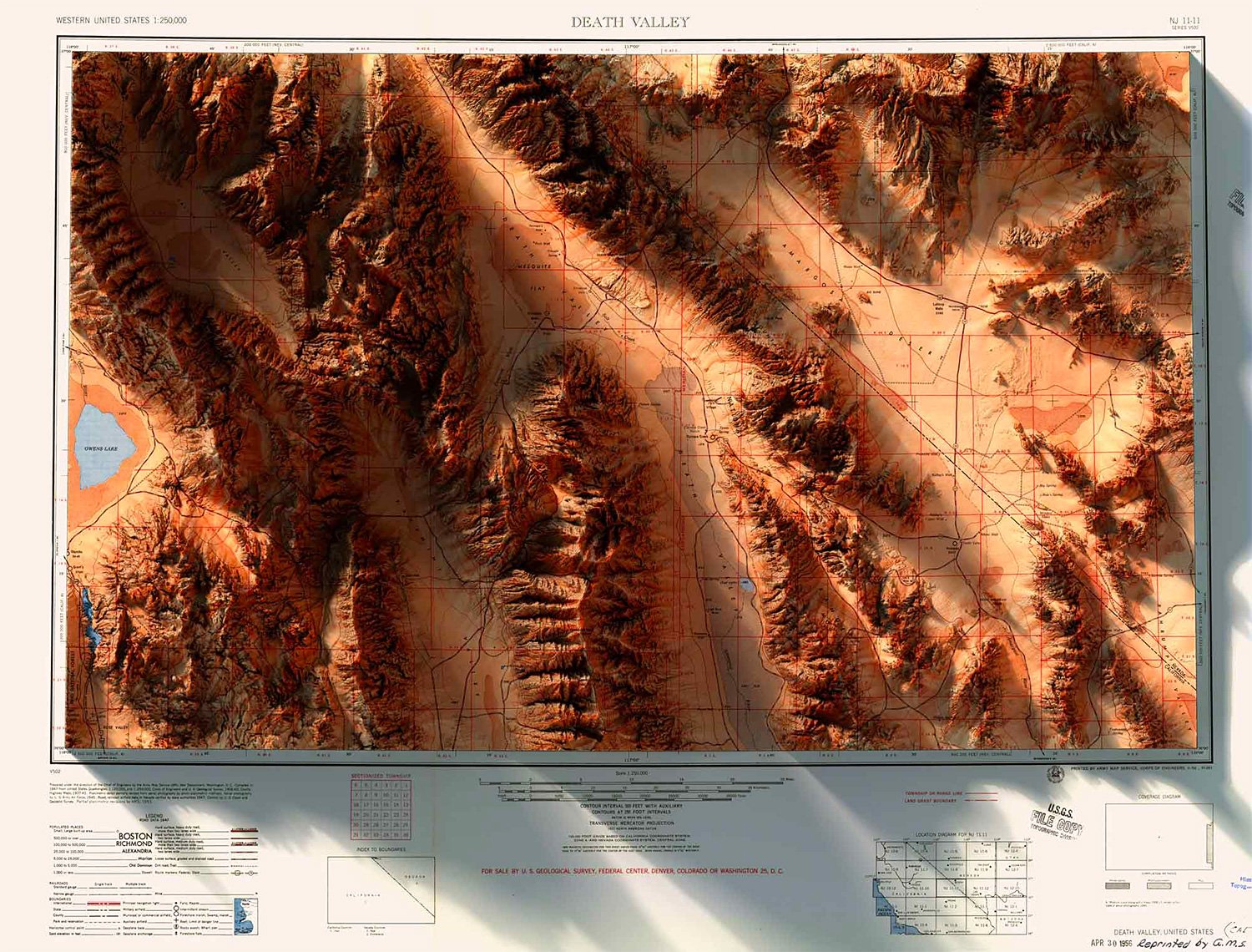
3-D Data & Historical Maps Combine To Create Amazing Images
By Author Info | February 20, 2019
$55

Combining high-quality 2D prints of historic maps with contemporary data, graphic designer Scott Reinhardt’s custom maps merge the old and the new into colorful wall art that features detailed, digitally-rendered 3D elevations. Choose from places like Yellowstone, Glacier National Park, & Portland, Oregon or states like New Mexico, California, and more. All are chromogenic color prints on Lustre photographic paper. Choose framed or unframed.
SHARE THIS:
WERD has been reader-supported since 2009. When you buy through a link on our site, we may earn an affiliate commission. We do not accept compensation for reviews.
Want more? Join our newsletter and get the latest clothing & gear guides weekly
More to Explore


